【VIEW OSAKA RIVERS】
Osaka,
the Water Capital
The
phrase “Water Capital” evokes a metropolis in which rivers and
streets intersect, with a picturesque urban landscape of many
riverbanks and bridges. From the Middle Ages onward, Osaka developed
into one of Japan’s great merchant cities, and the countless canals
criss-crossing it made this thriving commerce possible and earned it
the nickname Water Capital.
Through
the Osaka end of the Osaka-Kobe industrial belt, a linchpin of
present-day Japanese industry, flow several rivers: the Kizu, the
Shirinashi, the Aji, and the Shin-Yodo. Bridges were built over the
downstream sections of these rivers during the period following World
War II, when demand for land transport was growing. These bridges had
to be colossal, 30 to 50 meters high, so as to allow the passage of
large ships plying the river between upstream factories and the sea.
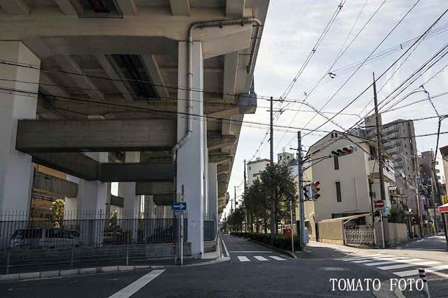
These titanic bridges were outfitted with pedestrian walkways, but it
is a lot of trouble for people on bicycles or on foot to ascend,
cross, and descend them. For this reason there are still eight places
where small municipal ferries carry people back and forth across the
river to this day.
Today,
many of the upstream factories that needed the services of those
great sea ships have vanished, replaced by residential developments,
large shopping malls, golf driving ranges, or simply enormous vacant
lots. Fish and seagulls have returned to rivers that were once
clogged with sewage and all manner of things, and people can no
longer smell the peculiar smell wafting off the Muddy River.*
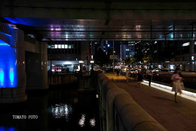
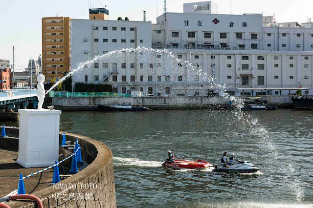
Riverbanks throughout Osaka have been cleaned up and turned into
places for relaxation, and visiting tourists enjoy the reflections of
the city lights shimmering in the water.
A
leisurely river soothes and softens the rough edges of life. At the
same time, fewer and fewer people in Osaka come in close contact with
rivers these days. With flood control infrastructure put in place to
prevent reoccurrences of the floods, high tides, and tsunamis of the
past, embankments have been repeatedly regraded and made higher and
higher, and it is harder and harder to get right to the river’s
edge.
I
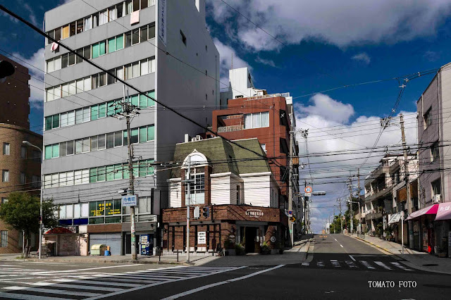
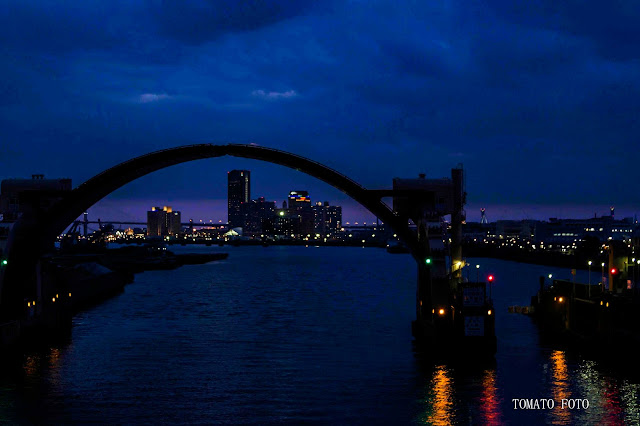
hope that these photographs of river scenery, taken from atop bridges
and embankments in the course of daily life, will convey at least an
echo of the vibrant hubbub that once resonated up and down the rivers
and canals of Osaka, the Water Capital.
Tomatsu
Shiro
(photographs taken
between September 2009 and November 2013)
<Explanatory
text>
The
Rivers of Osaka
In
ancient Osaka, the waters of the sea reached as far as the foothills
of Mt. Ikoma to the east, and there were numerous coves. These coves
were gradually filled with sediment carried downstream by the Yodo
River, which has sources in Shiga, Kyoto, and Nara Prefectures, and
by the Yamato River, which emerges in Nara Prefecture. Over the
centuries this sediment accumulated and became the Osaka Plain of
today. Meanwhile, the marine current flowing from the Akashi Strait
into Osaka Bay created many shoals, sandbanks, and delta islands
along the coast, where people settled in villages and traveled around
by boat. In 645 AD, Emperor Kotoku moved the capital to Osaka and
built Naniwanomiya Palace. In those times, the nickname Water Capital
referred to this palace on a high spit of land surrounded by islands
and rivers.
In
the 16th century, the warrior-statesman Toyotomi Hideyoshi
built Osaka Castle, and ordered the digging of many canals and
waterways such as the Kizu River to aid the advancement of the
surrounding city. This was because massive amounts of goods could be
hauled by boat with vastly less trouble and expense than by people
and horses over land. Later, during the Edo Period (1603-1868), many
more narrow waterways were dug as a substitute for streets. Along
these waterways, small cargo vessels departed and arrived with the
falling and rising tides. Commodities from throughout Japan arrived
in Osaka by boat, and records from the time state that, “seven-tenths
of Japan’s goods are in Osaka, and seven-tenths of Osaka’s goods
are aboard boats.” The phrase “Water Capital” came to refer to
a city of thriving commerce made possible by countless man-made
waterways and canals.
Water-based
transport flourished in Osaka from the 17th century
onward, and to ensure its stable continuation, flood control measures
had to be implemented in the Yodo and Yamato River basins. During the
Edo Period, merchant Kawamura Zuiken oversaw the digging of the Aji
River in 1684, and farmer Naka Jinbei devoted great effort to the
diversion of the Yamato River to its current route in 1704.
Osaka’s
ultimate defense against flooding from torrential rains came in the
form of a channel capable of draining floodwaters to Osaka Bay via
the Nakatsu River, which branches off from the Yodo River near Kema.
The Meiji (1868-1912) government summoned Dutch civil engineer
Johannis de Rijke to lead the project, and completed the
16-kilometer, 500- to 700-meter-wide Shin-Yodo (New Yodo) River in
1910.
During
Japan’s postwar period of rapid economic growth, many canals and
waterways were filled in as roads were constructed and container
vessels became the norm for shipping goods. Today, most remain only
in the form of place names containing the words “bridge” or
“river.”
(Written by Tomatsu
Shiro)
Reference
- History of Nishi Ward I and II, Vol. 2, Nishi Ward History Publication Committee, 1979
<Articles>
The
Mission of View Osaka
Tomatsu
Shiro’s photographs in the View Osaka series are not
calculated or staged, nor do they make strong appeals to the
emotions. Instead, he scans the Osaka cityscape and captures it
carefully and objectively. His pictures give the powerful sense of a
photographer on a long-term mission. Just what is Tomatsu’s
mission?
The series is conceived
as a trilogy. The first part, The Dome, is a collection of
photographs of Osaka’s low-lying, salt-of-the-earth cityscape with
Osaka Dome (present-day Kyocera Dome Osaka) looming in the distance.
Now, Tomatsu has published the second part, Rivers.
This part of the series
focuses on Osaka as a “Water Capital.” Since ancient times, the
city flourished as a nexus of river-based trade, and during the Edo
Period (1603-1868) merchants funded the construction of many bridges
for use in daily life and commerce. Today, Osaka is a composite city
containing commercial, industrial, business, and residential
districts. Its structure is largely determined by the rivers running
through it, which partition the above-mentioned districts. Rivers
form the boundaries between districts, and along rivers one can
glimpse the full panoply of urban life.
Osaka is a city of many
bridges, said in the past to number 808, as well as snarls of
multi-leveled expressways and railroads over the rivers. These rivers
are crossed by ferries and plied by sightseeing boats, and there are
roads going under them and sprawling banks where people gather for
all manner of purposes. All of these things combine to form the Water
Capital we know today.
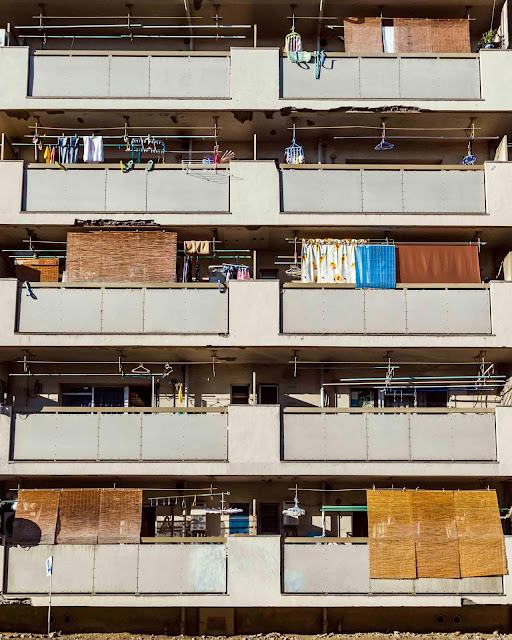
In the third part of
the series, Tomatsu plans to turn the lens on the dwellings of
Osaka’s common people. This promises to provide a fascinating
window into the everyday lifestyles of the city’s residents.
When complete, Tomatsu
Shiro’s trilogy of photo books will serve as a multifaceted record
of Osaka at a particular juncture in its history. The View Osaka
series will give the people of the future a picture of Osaka in the
early 21st century. I hope that this endeavor will be seen
by as many people as possible, and serve as a precious document of
present-day Osaka for posterity.
Tokunaga
Yoshie
Artist
/ Manager, Tokunaga Institute of Photo & Art
<日本語>


<日本語>
「水の都・大阪」
「水の都」とは、街中を道路と水路が交錯し、川辺や橋からの眺めが好ましい風景を醸し出している水辺都市のことを指す。
大阪は中世以降、日本を代表する大商業都市に発展した。この下支えをし、「水の都・大阪」と言わしめたのは町中に掘られた数多くの運河であった。
現代日本の産業を支える阪神工業地帯の大阪市エリアに木津川、尻無川、安治川そして新淀川などがある。第二次世界大戦後、これらの川下に、需要の増えた陸運のために橋が掛けられた。だが、これらの橋は、海から上流の工場への大型船舶の航行を確保するために、川面から30m~50mを超える巨大橋となった。この巨大橋に歩道も付けられたが、市民の日常生活で自転車・徒歩による渡橋は明らかに負担が大きい。結果として昔ながらの市営渡船が8ヶ所残されている。
今では、海から巨大橋をくぐる大型船を必要とする川上の工場の幾つかは撤退し、跡地は建売住宅、大型ショッピングモールやゴルフ練習場そして更地のままとなっている。
かって、生活排水など有りとあらゆる物が流れ込んだ川に魚やユリカモメが戻り、『泥の河』(注)から湧き立つ独特な異臭を嗅ぐことは無くなった。そして、街中の川は憩いの場所として整備され、大阪を訪れる観光客が川面から「水の都」の風景を楽しんでいる。
穏やかな川は日常生活に癒しと潤いを与えてくれる。しかし、現在多くの大阪市民は直接川に関わることが稀な事となった。洪水、高潮そして津波など、過去の大災害を再現させない治水・水害対策で再々嵩上げされ高くなる堤防が、ことさら川との結び付きを難しくしている。
日々の暮らしの中で、時折橋や堤防の上から眺める大阪の川風景写真から、川や運河が醸し出す微かな「水の都・大阪」の風情を感じてもらえたら嬉しく思います。
東松至朗
(撮影期間 2009年9月~2013年11月)
==============================
「大阪の川」
古代の大坂(注)は東に位置する生駒の山麓にまで海水が入り込み多くの入り江が有った。この入り江に現在の滋賀県、京都府、奈良県の各地を水源とする淀川と、奈良県を水源とする大和川が上流の土砂を流下させた。そして、悠久の月日を経て、川下に土砂が堆積し大坂平野を形成してきた。一方、明石海峡から大坂湾に押し寄せる潮流の作用により、沿岸部に瀬や洲をつくり、そして多くの三角州島を造った。この海辺の島に人が住み、船で往来するようになり、645年孝徳天皇はこの地に遷都して難波宮を置いた。古代の「水の都」は、海や川に囲まれた「難波宮」を指す愛称であった。
16世紀、豊臣秀吉が大坂城を築城し、大坂の発展に木津川をはじめ数多くの運河・掘割を開鑿(かいさく)した。これは人馬の力による陸上輸送と比較にならない廉価で大量輸送できる船による水運が重要視された事による。
江戸時代に入っても、大坂は町中に小路を造るが如く掘割が造られた。掘割には潮の干満によって、荷船の出帆あり着船があった。日本国中の物貨が船で大坂に運ばれ「日本の貨の7分は大坂にあり、大坂の貨の7分は船の中にある」と記された。「水の都」は数多く造られた掘割と水運の発展による大坂の繁栄を示す呼称になった。
大坂の水運が発展した17世紀以降、継続安定した船輸送を確保するには淀川水系、大和川水系の治水対策が必須であった。江戸時代、1684年河村瑞賢(町人)による安治川の開鑿や、1704年中甚兵衛(百姓)の尽力で大和川を現在の位置に付け替える工事が行われた。
大阪の究極の大雨洪水対策は、淀川流域毛馬の辺りから分枝する中津川を利用して、洪水を起こす川水を一気に大阪湾に流す放水路を開鑿することであった。明治政府はオランダ人土木技師ヨハニス・デ・レーケを招聘し、1910年(明治43年)川幅500~750mで長さ約16km.の新淀川を完成させた。
現在の大阪は、高度経済成長期の道路整備やコンテナ船の普及等で多くの運河・堀川は埋め立てられている。そして、橋や堀川は地名に遺すのみとなった。
江戸時代(1600年代)の大坂平野概略図
図中の青色は現在の大和川・新淀川の位置
を示す。大阪湾と記されている
海の殆どは現在陸地になっている。
(記:東松至朗)
【参照】
①西区史Ⅰ・Ⅱ 西区史刊行委員会著 第二巻 1979年
②大阪府史 大阪府史編集室/編集 第五巻 1985年
注)大阪は古来「大坂」と記されたが、明治以降「大阪」と記されるようになった。


